

Wendover Woods [Haddington Hill]
Good walks are even better shared.
SP8808 : Surfacing the new Coach Park in Wendover Woods
Chris Reynolds Photo source
Overview
Wendover Woods [Haddington Hill]
Introduction
Nestled within the stunning scenery of the Chiltern Hills, Wendover Woods is a beloved destination for walkers, families, and nature enthusiasts alike. Haddington Hill, its high point, offers an accessible escape into nature without needing to scale any ‘mountains’—unless you’re talking about the challenges of finding a decent parking spot.
Geology
The hill and surrounding woods are primarily underpinned by chalk and flint, creating rich habitats for various plant species. The notable chalk grassland draws in hikers keen on exploring one of the best-preserved natural ecosystems in southern England, so keep your eyes peeled for vibrant wildflowers!
Routes
One of the most popular routes is the Wendover Woods Trail. This trail is easily navigable and perfect for families or anyone looking for a gentle walk amongst nature.
- Distance: 4.0 km
- Time: Approximately 1.5 hours
- Difficulty: Easy, so you can save your energy for the picnic at the top.
Summit Features
At the summit, you’ll find a subtle grassy knoll offering a charming wicker seat. It’s a perfect place to plonk down and enjoy your sandwiches while taking in the panoramic views. An information board presents local insights for the curious-minded—just don’t read it while balancing on one foot!
Views
The views from Haddington Hill are nothing short of spectacular. To the north, rolling hills beckon, while on clear days, the skyline of London can be seen.
- Best Seasons for Views: Spring bursts with life, and Autumn dazzles with colour, making these times ideal for a visit.
Hazards
The terrain can be a tad uneven, especially following rainy days; so, sturdy footwear is wise. No one wants to bring back muddy memories—unless it’s from your hiking boots!
Nearby Summits
- Great Missenden (254 m)
- Wardown Hill (275 m)
Check them out, for those who wish to continue their adventures!
Access
For your excursion, you’ll be pleased to know there’s a car park at Wendover Woods, where enjoying a good stretch around the vehicle is not frowned upon!
- Nearest public transport: Regular buses from Wendover Station,
- Nearest town: The picturesque village of Wendover is just a hop away.
Facilities
After a hearty hike, why not indulge in some treats at the onsite café? A well-deserved cup of tea and a slice of cake awaits, alongside clean public toilets to refresh before your journey home.
History
The name 'Haddington' dates back to old English, potentially meaning 'Hadda’s farm’. Historically, this area is culturally significant, providing insights into ancient woodland management in the Chilterns.
Conclusion
Wendover Woods [Haddington Hill] is a treasure trove of natural beauty, perfect for a leisurely hike or a family outing. With its accessible routes, stunning views, and delightful facilities, you’ll find it hard to resist a visit—and remember, hiking calories don’t count!
Explore routes near Wendover Woods [Haddington Hill]
Walks starting near this hill. Open a route to check its map, distance and full itinerary.
Wendover Woods Firecrest Trail
View route
Coombe Hill Monument and Ridgeway Circuit
View route
Aylesbury Walk with Men Walking & Talking
View route
Ashridge Duncombe Terrace and Clipper Down Walk
View route
Route planning notes
These notes describe possible approaches. Check a route's map and access information when planning your walk.
Wendover Woods Trail
A scenic and well-marked route through the woods leading up to Haddington Hill, offering an enjoyable hike for all ages.
Make a day of it, together
Find someone to share the walk with, or organise a day out along a route you like.
Photo Gallery
View all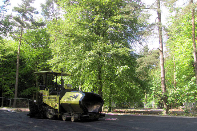 Photo could not load
SP8808 : Surfacing the new Coach Park in Wendover Woods
Chris Reynolds
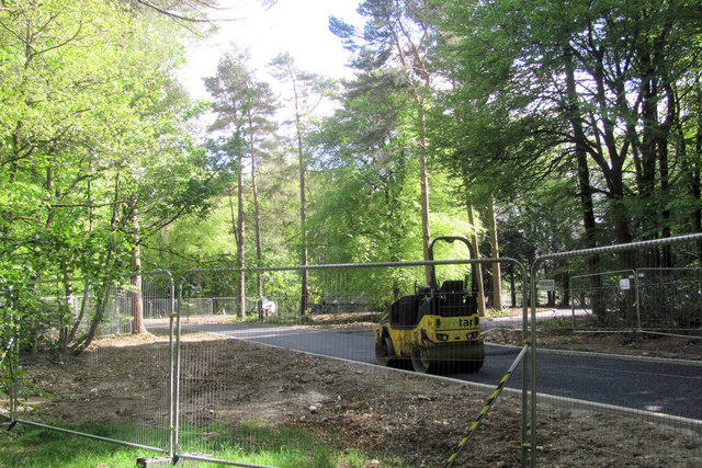 Photo could not load
SP8809 : A Junction in the New Road in Wendover Woods
Chris Reynolds
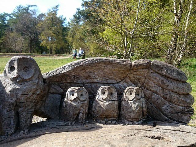 Photo could not load
SP8808 : Owl carving
Mark Percy
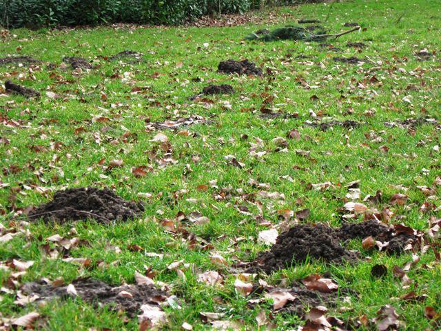 Photo could not load
SP8809 : Mole Hills in the grass in Wendover Woods
Chris Reynolds
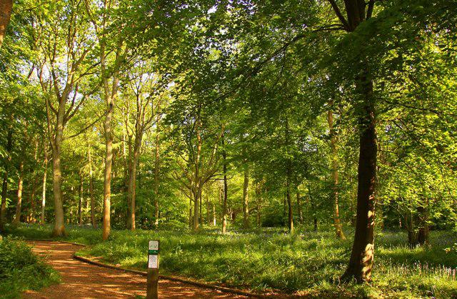 Photo could not load
SP8908 : Footpath in the woods
Steve Daniels
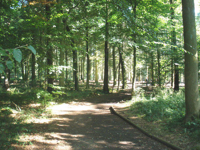 Photo could not load
SP8808 : Wendover Woods
Roger Cornfoot
 Photo could not load
SP8808 : The Gruffalo
Mark Percy
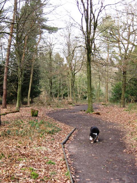 Photo could not load
SP8909 : All Ability Trail, Wendover Woods
Chris Reynolds
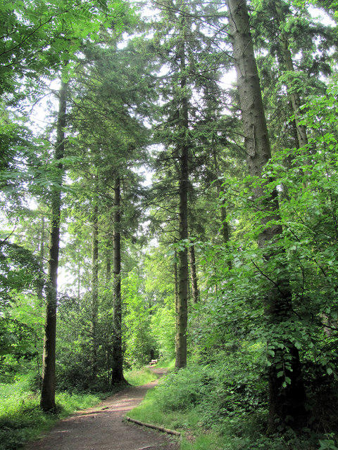 Photo could not load
SP8808 : The All Ability Trail at Wendover Woods
Chris Reynolds
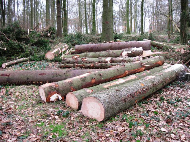
SP8908 : Freshly cut logs, Wendover Woods
Chris Reynolds
Hill facts and local notes
Classifications
Elevation
268m
878 ft
Prominence
180m
Coordinates
51.7724, -0.7112
SP890089
OS Map
165
Explorer: 181
At the Summit
The summit is adorned with a grassy knoll and offers a wicker seat for a most comfortable view. There’s also an information board to inform you about the local area - we recommend reading it over a picnic rather than whilst trying to climb.
Terrain & Geology
Wendover Woods is primarily composed of chalk and flint, typical of the underlying geology of the Chilterns. The area features interesting atmospheric chalk grassland that supports diverse flora and fauna.
Views & Scenery
From the summit, you can see the rolling hills of the Chilterns and, on a clear day, even the tall buildings of London in the far distance.
History & Heritage
Name Origin
The name 'Haddington' is thought to derive from the old English for 'Hadda's farm'.
Historical Significance
Haddington Hill is not only a natural landmark but also a site of interest for its ancient woodland and historical significance within the Chiltern Hills.
Getting There & Facilities
Parking
Wendover Woods car park, located at SP 887 086, offering ample space and facilities for visitors.
Public Transport
Regular bus services operate from Wendover Station, which is a short walk from the woods.
Nearby Facilities
There is a café in Wendover Woods offering refreshments, picnic areas, and public toilets available on site.
Safety Information
Known Hazards
- Uneven terrain in places; cautious footing is advised, especially when it’s wet.
General Safety Tips
- Check weather conditions before setting out
- Carry appropriate clothing and equipment
- Let someone know your planned route
- Take a map, compass, and GPS device
- Carry emergency supplies: food, water, first aid kit, torch
Hills
Some common questions about the hills answered
Are there group walks up Wendover Woods [Haddington Hill]?
Many walkers use Walkmates to join or organise walks with others. You can check for group walks around Wendover Woods [Haddington Hill] through the maps
Are there other walkers around Wendover Woods [Haddington Hill]?
Activity varies by location and time, but Walkmates lets you see whether others have shared walks or shown interest in this area. Find other people through the walking friends search walking friends for Wendover Woods [Haddington Hill] search or of course create your own walk for Wendover Woods [Haddington Hill]
Can I organise a walk to Wendover Woods [Haddington Hill]?
Yes. If there aren’t any walks listed already, you can create a walk and make it available for others to join.
If you're signed up to Walkmates, you can create a walk to Wendover Woods [Haddington Hill].
How do I find a walk up this hill?
There are often multiple ways to walk this hill, depending on experience and route preference. Walkmates helps you explore walks and routes that others have shared.
Can I suggest a new route up Wendover Woods [Haddington Hill]?
Yes. You can suggest or create routes to share with others. Walkmates focuses on the social side of walking, so routes are used to help people organise walks and explore areas together, rather than as detailed navigation tools or route libraries.
Other uses really appreciate knowledgeable walkers sharing their routes. Share your favourite route to Wendover Woods [Haddington Hill] here
The is an error or something incorrect about this hill. How do I let you know?
We always strive to keep the information on Walkmates as accurate as possible. If you find an error, please let us know through the contact form and we'll aim to correct it as quickly as possible
Community Discussion
Comments
Location
![Wendover Woods [Haddington Hill] location map](https://cdn.walkmates.com/hill-maps/hill-sources/2874/51.77242_-0.71117.png)
Grid reference: SP890089
View on OpenStreetMapOpens a map in a new tab, centred on the hill.

No comments yet. Be the first.